Industry workflows
Drone operations for Surveying & Mapping
Coordinate capture context and delivery requirements for mapping-related work.
This updated guide is currently available in English.
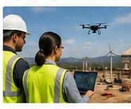
Surveying & Mapping: operational needs
Professional licensure, control, accuracy, processing, and acceptance requirements depend on jurisdiction and scope.
- Accuracy and ground control
- Processing and deliverables
- Licensure boundaries
A reviewed capture-to-processing handoff
AI streamlines preparation, coordination and delivery so your team can produce consistent results with less manual work.
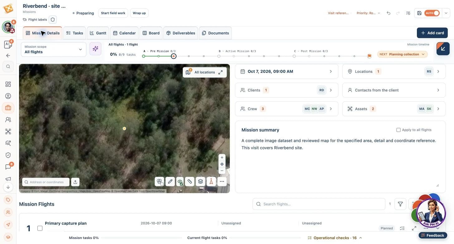
AI connects capture scope, control references and processing handoffs, reducing rework and helping survey teams deliver efficiently.
La IA impulsa el trabajo rutinario para que tu equipo se concentre en decisiones de mayor valor.
Surveying & Mapping · mission workflow
Agree the target area, control references, capture method and acceptance criteria. Retain source imagery and flight-plan references, check coverage, then transfer to the reviewed processing workflow.
- Your decision
- Professional licensure and permitted practice depend on jurisdiction and scope; qualified people must determine those requirements.
- Expected output
- A source dataset manifest, control-point references, coverage limitations and external processing handoff records.
Read the workflow guide and decision points
AI coordinates routine work; your team owns critical decisions.
Surveying & Mapping · mission workflow
Agree the target area, control references, capture method and acceptance criteria. Retain source imagery and flight-plan references, check coverage, then transfer to the reviewed processing workflow.
Prepare the operation
- Input
- Coordinate capture context and delivery requirements for mapping-related work.
- Product or agent contribution
- AI aligns capture scope, control references and processing tasks, reducing handoff errors and helping teams deliver reviewed survey evidence more efficiently.
Resulting output
A reviewed scope, readiness questions and capture requirements.
Review and deliver
- Input
- The capture evidence and agreed review standard.
- Product or agent contribution
- AI organizes capture requirements and processing handoffs, keeping review tasks and delivery progress connected across your tools.
Resulting output
A source dataset manifest, control-point references, coverage limitations and external processing handoff records.
Resources for this operating context
9 relevant entries in the curated collection: 2 core workflows and 7 worked examples. Start with these previews.
Choose a workflow by its intended scope and expected output. Worked examples illustrate specific situations; adapt them to your operation and qualified review requirements.
Orthomosaic Mapping
Take mapping work from agreed coverage and ground reference through field quality checks and an externally processed, reviewed orthomosaic. Use the prepared workflow to organize planning requirements and outstanding checks, reducing avoidable rework while the survey team validates the map and its accuracy.
Core workflow
Preview workflowLiDAR Topographic Surveys
Keep calibration, ground reference, payload recordings and processing handoffs together from field capture to reviewed terrain products. Use the prepared workflow to coordinate the required inputs and follow-ups, reducing time spent chasing missing files while specialists validate the point cloud and terrain model.
Core workflow
Preview workflowRemote LiDAR & Panorama Capture
Prepare remote LiDAR work with ground-reference records, panoramas, battery continuations and complete source packages kept together. Use this example to organize departure readiness and missing-input follow-ups, reducing coordination overhead and the risk of another journey for omitted work.
Worked example
Preview workflow
Worked examples illustrate workflows, not customer endorsements. Processing, technical interpretation and critical operating decisions remain with the responsible people and tools.
Carry your industry into your first step
Explore authored mission templates relevant to Surveying & Mapping, including capture instructions, expected evidence and review requirements.